Opening Hours
Daily: 10 A.M.–5 P.M.
Closed on Tuesdays
1151 Oxford Road
San Marino, CA 91108
Daily: 10 A.M.–5 P.M.
Closed on Tuesdays
1151 Oxford Road
San Marino, CA 91108

Image not available
Manuscripts
mssHM 2421
Image not available
Manuscripts
A manuscript originally bound in three volumes; volume I covers the years 1870 to 1875, volume II 1877 to 1878, and volume III 1876 to 1894. Volume I is made up of Norris' original printed letters to Michigan papers pasted down on paper sheets, with extensive additions, corrections, and notes; Norris was revising this material to publish in book form. Volume II contains another trip to the west in 1877 and volume III contains miscellaneous material which Norris intended to incorporate into his book. The volumes include interesting details and reports of the state of the west at that time, and also mention the battlefield of General George A. Custer and Yellowstone National Park; volume III contains an autograph map of the general area of the park, dated 1894. The pages were removed from the original damaged boards by the Huntington Conservation Department and placed in folders and three boxes; the original boards were retained and kept with the disbound material.
mssHM 506
Image not available
Manuscripts
The majority of the journal contains prescriptions Gow made for his customers and the recipes for those prescriptions. The volume also contains two other sections: a female relative of Gow's recorded 19th century poetry in parts of the book and there is also a section titled, "Journal of a Seaman in the Forecastle." This diary section contains accounts from 1851 to 1852 of an anonymous sailor who sailed from Boston to San Francisco in a clipper and then chronicles his time in Port Adelaide, Australia. There are also two pages of what may be the ship's manifest.
mssHM 74486
Image not available
Manuscripts
This material includes four unsigned and undated pages in the hand of Robert Louis Stevenson. The first page is a pencil drawing of a masted ship; the next page begins "The childish old man..." and contains quotes and notes from William Wyatt Gill's "Myths and Songs from the South Pacific" (London : Henry S. King, 1876). The following page is numbered "58" and headed "Part V / Whites and White Influence in the Pacific," which appears to be part of a manuscript held by the Huntington: drafts of "In the South Seas" (mssHM 2421).The final page is a numbered list dealing with debts, mortgages, and bills.
mssHM 44078
Image not available
Manuscripts
A Jesuit educational manuscript combining extensive treatises on rhetoric and geography with a shorter consideration of physiognomy. Though anonymous, a colophon describes the work as having been translated (or transcribed) from his "Eruditissimo Preoeceptore Gardemeau." It is closely written in a single, minute, but neat hand, and contains engraved frontispieces to the three parts depicting Christ, Saint Joseph and Saint Agnes; each frontispiece has the imprint of Parisian engraver and printseller Jacques Honervogt, as well as one unsigned plate depicting the Annunciation. The short treatise on physiognomy outlines the principles of the science of understanding the soul through the physical features of the face. "De Sphaera articiali" includes descriptions and maps of the continents, Asia, Africa and the Americas, while a stub suggests the map of Europe has been removed. The volume has very minor worming to the lower portions of a few leaves and some damage to the spine; covers are contemporary yellow tawed sheep with partially intact ties, with a later paper spine label.
mssHM 83316
Manuscripts
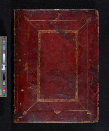
The atlas also known as "The Great South Sea of America," as well as the "South Sea waggoner" contains a description of the sea coasts in the South Sea of America from the port of Acapulco to the Le Maire Straits. The atlas depicts ports, harbors, anchoring islands, sands, rock and other navigational dangers. The 132 charts are of a pictorial nature; the coast-line is laid down as in a plane map, but back from the water's edge the country is rendered as seen from the sea. The mountains and hills are given in their natural colors; towns, churches, bridges, and even isolated houses, with all other landmarks of use to navigators, have been inserted by the mapmaker, and voluminous directions are given for the entering of harbors, the avoidances of shoals and rocks, distances, together with notices of where ships were wrecked, where Sawkins (one of Sharpe's colleagues) was killed, and other historical landmarks. Charts 52 and 53 are on the same sheet. The large chart of the west coasts of Central and South America which was originally bound at the beginning of the volume was removed in December 1948 and placed in a separate portfolio.
mssHM 265