Rare Books
"Shamus town" the Raymond Chandler mystery map of Los Angeles, the wonder city of America
Image not available
Rare Books
Image not available
Daily: 10 A.M.–5 P.M.
Closed on Tuesdays
1151 Oxford Road
San Marino, CA 91108

Image not available
Rare Books
A fine map of the then existing four street railway systems with power houses and depots indicated in color. Ninth Avenue to the west, Santa Monica Ave. (now Exposition Blvd.) to the south, Baxter Street (near Silver Lake) to the north, Lorena Street to the east. Street and Business Block index. See also 262760 for a year earlier copy of this map. Cover title: Map of Los Angeles City. Relief: no. Projection: Plane. Printing Process: Lithography.
213818
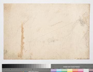
Manuscripts
(rest of map missing) showing northern half of Los Angeles, ; surrounding area: Rancho los Felis, Roches; Rosa de Castilla, Granger & Berdugo parcels; structures, very fine surface & topographical detailing: subdivision, roads, hills; color highlighting.
mssSolano SR_Map_0324.01A
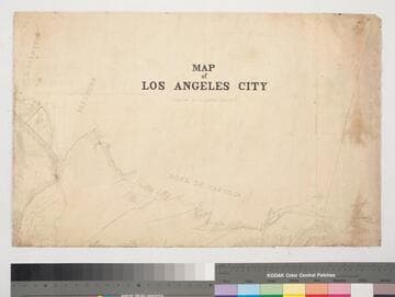
Manuscripts
(rest of map missing) showing northern half of Los Angeles, ; surrounding area: Rancho los Felis, Roches; Rosa de Castilla, Granger & Berdugo parcels; structures, very fine surface & topographical detailing: subdivision, roads, hills; color highlighting
mssSolano SR_Map_0324.01B
Image not available
Rare Books
Hand coloring shows various street materials used in paving 105.99 miles of city streets. Later MS additions show horse car lines and railroads existing up to January 1895. Additions by L. P.; "Street cars run on all streets marked with red lines. Streets marked 1,2,3,4 or 5 in red denote the street car lines which run on these streets. 1. Los Angeles Railway; 2. Pacific Electric Railway; 3. Los Angeles Pacific Railway; 4. Traction Line; 5. Los Angeles - Redondo Electric Line. [Bimini Baths and L. A. Country Club also marked in red.]" "Copyright 1904 by Newman & Wilson." Relief: no. Projection: Plane. Printing Process: Two color letterpress. Verso Text: MS note: 202453..
202453
Image not available
Visual Materials
Old shelf number ephJ2d. Mile circles up to 4 miles from town center. Index in surround. Index in surround. Prime meridian: GM. Relief: no. Graphic Scale: Miles. Projection: Cylindrical. Printing Process: Lithography. Verso Text: MS note: Eph J2d.
ephMPCALIF0048